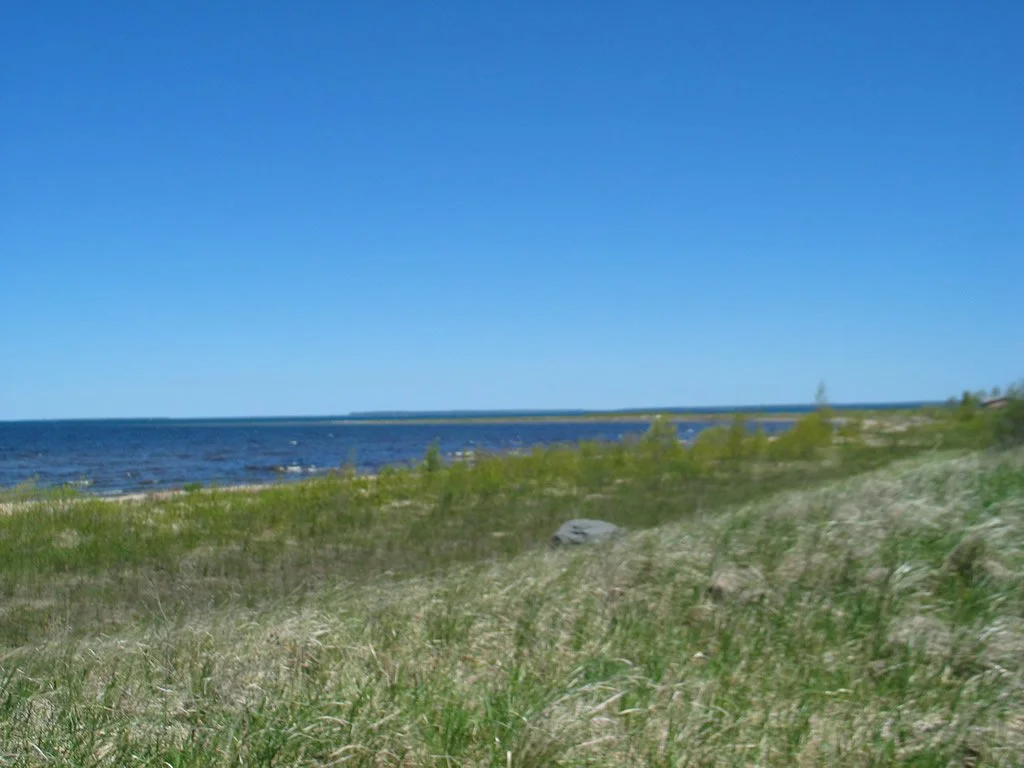
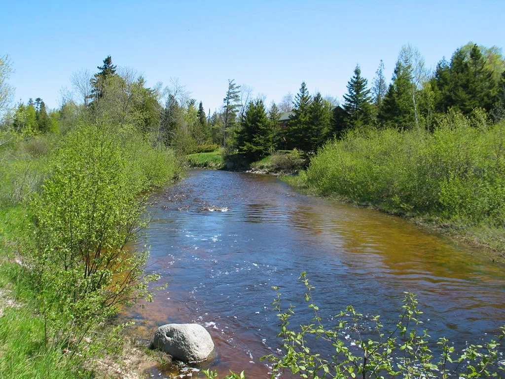
Cecil Bay Park
Blueways Water Trail Access Site
Access Type: Via Trail
Launch Type: Carry-in Launching (Kayak)
Beach Type: Sand
Beach Approach: Moderate Banks
Vehicle Parking: 15 spaces
Facilities/Services: Restrooms (Portable)
Day Use Facilities: Picnic Area
Notes: Need to launch at the road ending, then drive to the parking lot in Cecil Bay Park about 200 feet away. The Carp River flows through the Park and Empties into Lake Huron in the Park. The river is too shallow to paddle out, and a sand bar is located at the mouth. There is a low dune along the Lake Huron shoreline. Cecil Bay is a shallow bay with underwater boulders, particularly around points.
Things To Do: Birding, Kayaking, Wildlife Watching
Open: Fall, Spring, Summer; Restrooms Available
GPS: 45.74612, -84.83039