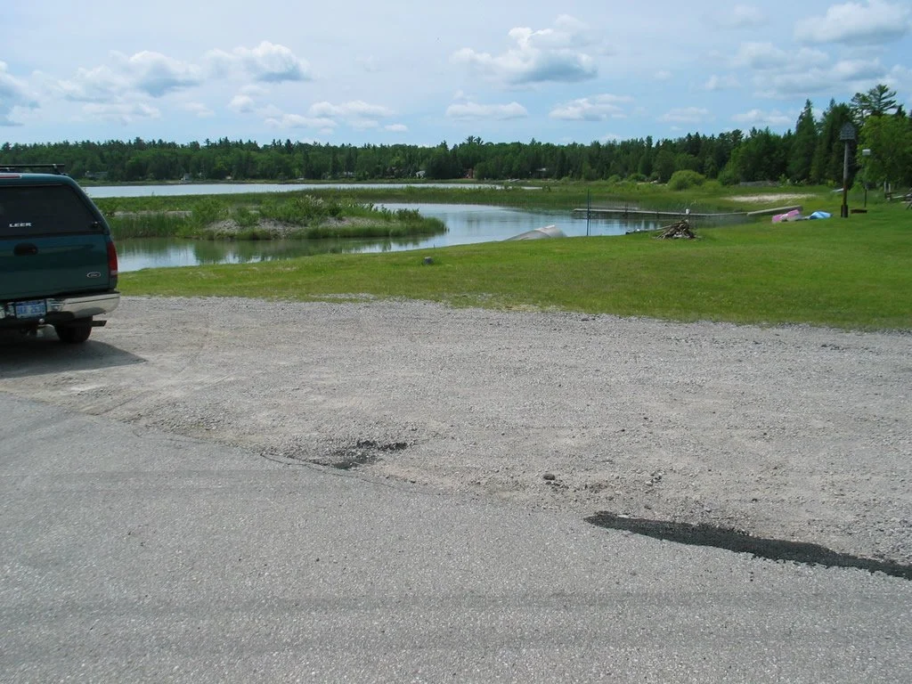
False Presque Isle Road End
Blueways Water Trail Access Site
Access Type: Via Paved Road
Launch Type: Carry-in Launching (Kayak)
Beach Type: Gravel/Cobble
Beach Approach: Moderate Banks
Notes: This is a road ending with a wide parking spot; Unimproved launch; a short, steep, and rough launch for a boat, but fine for a Kayak; There are homes around the launch site; Provides access to False Presque Isle, Bell River, and Rockport. Paddle North around False Presque Isle to view the Stoneport Quarry Operation; Albany Points; Wreck Point; and Presque Isle Harbor. Many bays and points, along with shallow shipwrecks, make for interesting exploring. Interesting contrast between natural undeveloped shorelines and the Quarry Operation.
Things To Do: Kayaking
Open: Fall, Spring, Summer